A ground-penetrating radar (GPR) survey was carried out at the medieval monastery of Mosteiro de Odivelas, also known as Mosteiro de São Dinis, a National Monument in Portugal. The investigation aimed to identify buried architectural remains and subsurface structures linked to the monastery’s historical development. Covering 2,500 m² across four survey areas, the high-resolution survey revealed the remains of demolished buildings, extensive debris layers, preserved and collapsed cisterns, and elements of historic garden design.
Mosteiro de Odivelas (Medieval monastery)
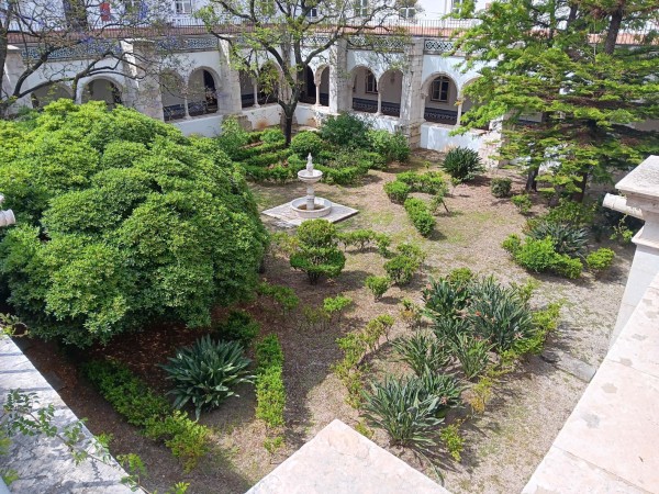
Mosteiro de Odivelas - Claustro Novo
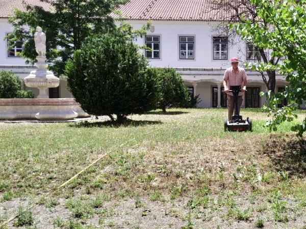
GPR measurements in Claustro da Moura
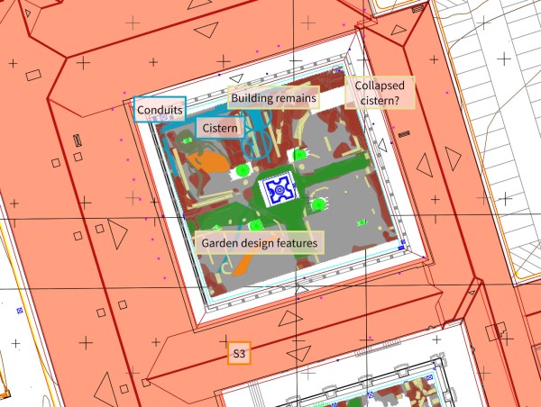
GPR data interpretation, Claustro da Moura