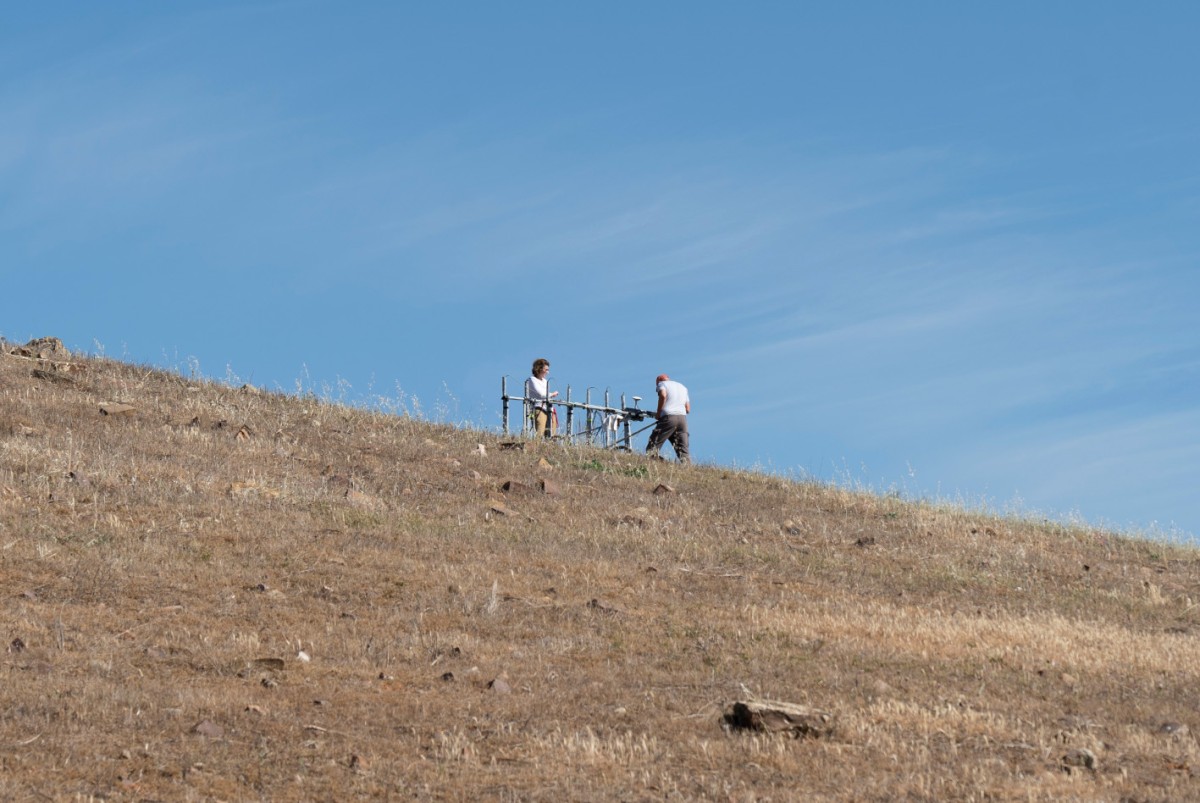
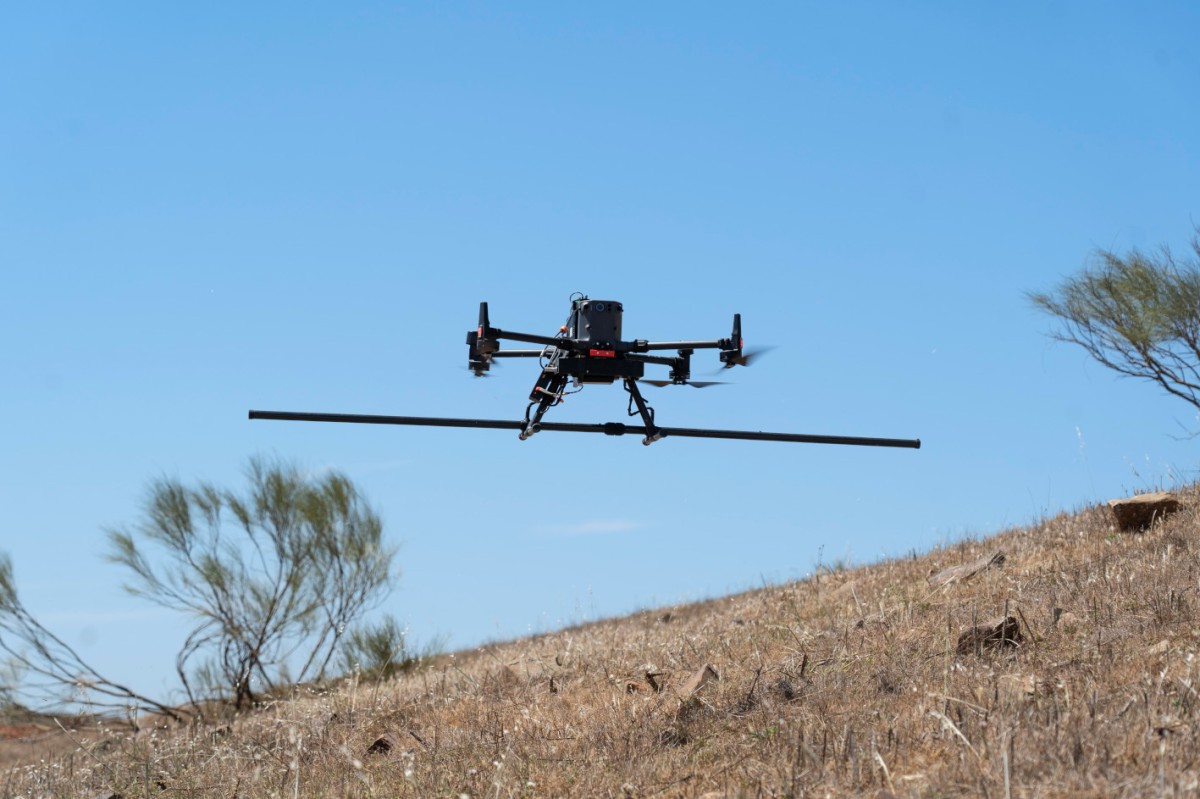
Magnetic surveys were carried out at the Iberian site of Cerro de las Cabezas using both ground-based and drone-based systems. Ground measurements covered 0.8 hectares with a seven-sensor fluxgate gradiometer array, while an aerial MagDrone R4 (SENSYS) with 5 sensors expanded the investigated area to a total of 1.24 hectares. All measurements were completed in a single day. The combined datasets provided high-quality results and valuable comparative information. Interpretation shows that ovens and defensive ditches were sufficiently well detected through drone-based measurements, while foundation remains and streets could only be identified from the surface. Drone surveys proved useful mainly for locating strong anomalies over larger and difficult-to-access areas but were less effective for weaker features. Overall, detailed analysis of the site’s internal organisation requires ground-based magnetic and GPR surveys, with drone measurements serving as a complementary tool. GPR measurements with very detailed results were already carried out by SOT Prospecció Arqueològica, Barcelona.
Ibero-Oretani site of Cerro de las Cabezas
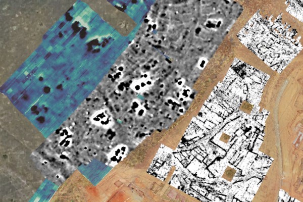
Data: magnetic drone (bluish), magnetic gradiometry (greyscale) and GPR (bw)