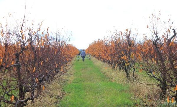
Magnetic prospection in orchard at the Roman site of Bišket
Danube Limes
Along the Danube Limes
- Magnetic prospection at three sites between Sotin and Ilok (Map)
- Sotin – Jaroši: Roman military camp
- Šarengrad – Gradac: Roman and medieval site at the edge of the Danube riverbank
- Ilok – Bišket: Roman watchtower site on the Danube riverbank
- Equipment: LEA MAX with 5 or 7 Förster fluxgate gradiometers FEREX CON400
Ilok - Bišket
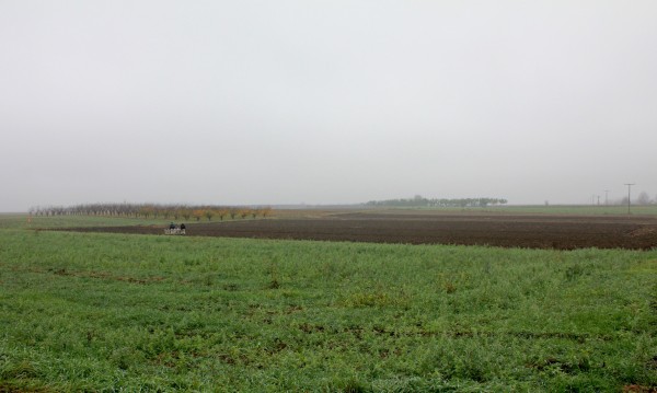
Sotin - Jaroši
The landscape of Syrmia is characterised by a flat topography and fertile, clay-rich soils
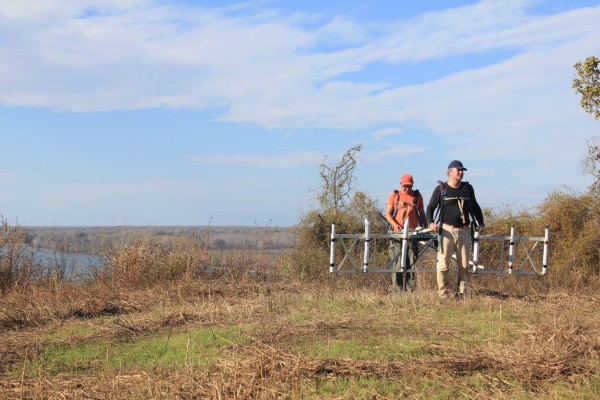
Šarengrad - Gradac
The Roman and medieval site of Šarengrad - Gradac is located at the edge of the Danube riverbank, above the village of Šarengrad